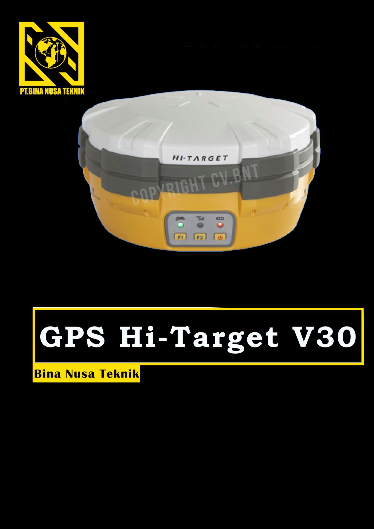
GPS Geodetik RTK GNSS HI Target V30
Deskripsi Hi Target V30 GNSS RTK GPS Geodetik / Hi-Target V 30 / HiTarget V-30
Untuk pemesanan silahkan menghubungi kami.
The V30 GNSS RTK system is designed to meet high quality standards at an affordable price. It is outstanding in its class, with a rugged design and user-friendly functions.
KEY FEATURES:
1) BD970 GNSS engine
2) Support GPS, GLONASS, BDS, GALILEO
3) Rugged design and user-friendly functions
DETAIL ADVANTEAGE FUNCTIONS:
1. Multi-constellation tracking
a) 220 tracking channels
b) Supports GPS, GLONASS, BDS, SBAS
c) NGS approved GNSS antenna
2. Intelligent operation
a) Equipped with a smart speaker guiding the whole operation
b) Multi one-button functions make fieldwork easier, such as auto base setup by one button, the rover can get fix solution once it is turned on
3. Diversify RTK application
Optional transceiver UHF radio
a)The transceiver UHF radio enables the working mode to be switchable between base and rover
b) Removable internal UHF radio enables users to fix or exchange simply
Seamless operation in CORS system
c)Built-in GPRS/GSM/3G module ensures that the V30 works perfectly with network RTK positioning
4. Long-life battery
a)Powered by 5000mAh Li-ion battery
b)Static working time 13 – 15 hours
c)RTK Rover (UHF/GPRS/GSM) working time 10 – 12 hours
d)RTK Base working time 8 – 10 hours
5. Rugged and unique design
a)IP67 dust/water protection
b)Withstands 3-meter natural fall onto concrete
c)Rapid tracking and perfect avoidance or reduction of obstruction and multipath effect to ensure superior positioning capability.


Reviews
There are no reviews yet.