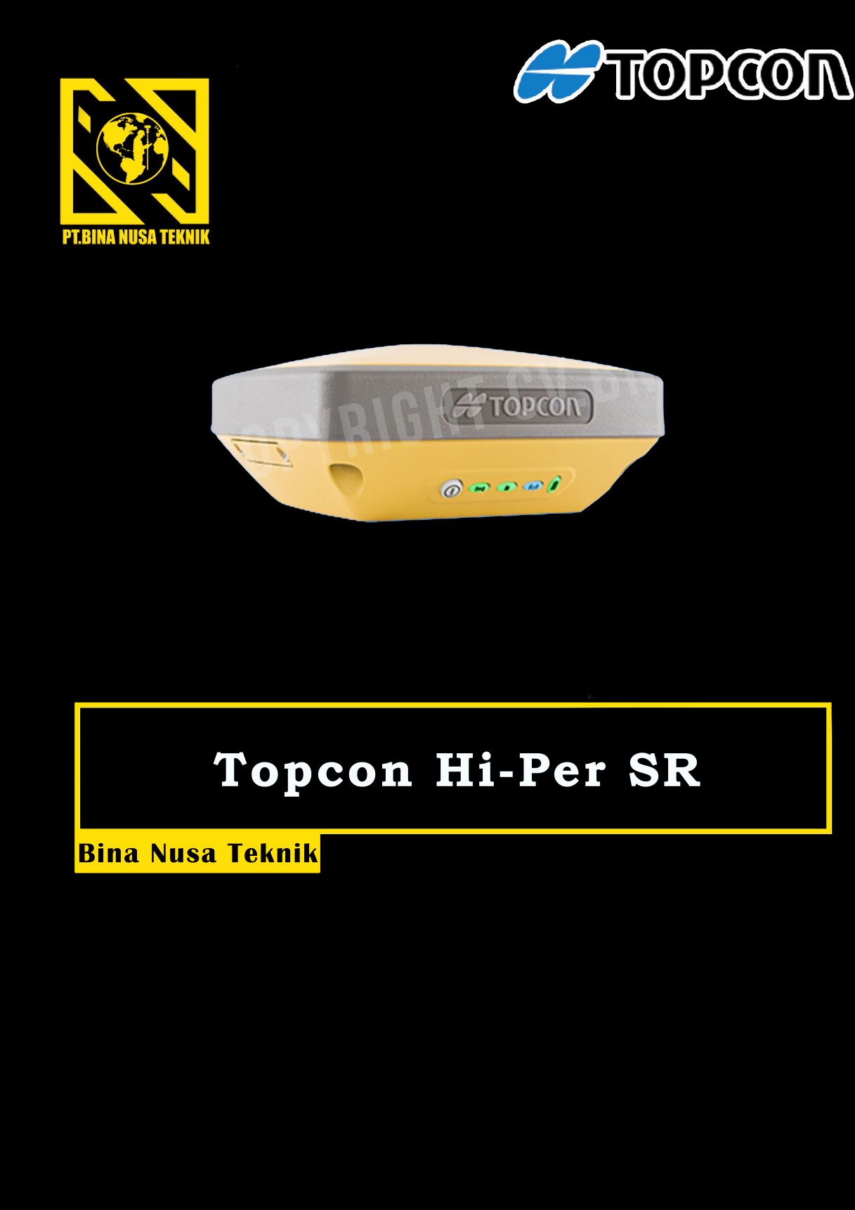
GPS GNSS TOPCON HIPER SR
Rp12.345
GPS Geodetik RTK GNSS Topcon Hiper SR
Topcon HiPer SR GNSS Receiver Superior multi-constellation Vanguard GNSS chipset, Integrated multi-channel LongLink communication technology, designed specifically for small to medium size sites
Providing leading edge technology in a smart, rugged design, the new HiPer SR with optional Cellular configuration adds possibilities to your job site. With an integrated cellular modem, the new HiPer SR becomes an extended GNSS range site receiver and can be used in a variety of setup including MAGNET Relay, Network, and LongLinkTM. While bringing flexibility, the HiPer SR Cellular configuration still provides superior performance at an affordable price.
Topcon HiPer SR GNSS solution is ideal for interference-free, short-range, wireless communication between base and rover. With an optional, internal, dual-SIM cellular modem the HiPer SR can also be used as a MAGNET Relay mobile base, adding flexibility to your portfolio for your various project scenarios
- Capable of tracking GPS and GLONASS constellations
- Universal Tracking Channels capable of all-in-view tracking
- Hybrid Positioning ready
- Signal scrubbing Fence Antenna® to provide ultimate signal lock
- Highest accuracy positioning for RTK, network, and more
HiPer SR Specifications
GNSS Tracking
- Number of Channels: 226-Channel Vanguard Technology with Universal Tracking Channels
- Signals Tracked: GPS, GLONASS, SBAS, QZSS
- Antenna Type: Fence Antenna
Accuracy
- Static/Fast Static: H: 3.0 mm + 0.4 ppm, V: 5.0 mm + 0.6 ppm
- Precision Static: H: 3.0 mm + 0.1 ppm, V: 3.5 mm + 0.4 ppm
- RTK (L1+L2): H: 10 mm + 0.8 ppm, V: 15 mm + 1.0 ppm
- DGPS: H: 0.4 m, V: 0.6 m
- SBAS: H: 1.0 m, V: 1.5 m
Communications
- I/O Communications: Bluetooth®, Serial, USB
- Cellular: Integrated HSPA+/CDMA
Memory
- Memory: 2GB internal
- Real Time Data Output: TPS, RTCM SC104 v2.x, 3.x and MSM, CMR/CMR+
- ASCII output: NMEA 0183 version 2.x, 3.x and 4.x
Physical and Environmental
- Dimensions: W: 5.9” (150 mm), D: 5.9” (150 mm), H: 2.5” (64 mm)
- Weight: 1.87 lbs. (850g) – Basic, 2.04 lbs. (925g) – Cellular
- Operating Temperature*: -20ºC to 65ºC, -40ºC to 65ºC
- Storage Temperature: -40ºC to 70ºC
Certifications and Standards
- Dust/Water Protection: IP67
Power and Electrical
- External Power Connector: Yes
Performance
- Operation Time: Up to 20 hours
Gratis Pelatihan
Harga SEWA GPS GEODETIK bisa langsung WA/Call


gilar –
topcon gnss ga pernah bikin kecewa
jusmadi –
gp gnss topcon hiper sr emang top