Home » Shop » GPS GNSS TOPCON HIPER V
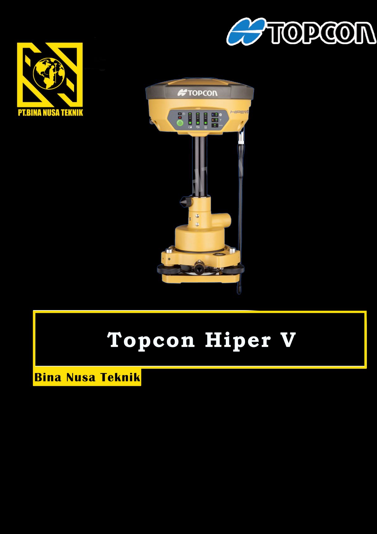
GPS GNSS TOPCON HIPER V
GPS Geodetik RTK GNSS Topcon Hiper V
Compact, cable-free solution with Vanguard Technology for all GNSS positioning applications.
In a continued commitment to improving the productivity of positioning professionals, Topcon enhances the HiPer family of products by adding Vanguard Technology to the HiPer V. In the early 2000’s Topcon revolutionized GNSS receivers by integrating the design to be compact and light weight. Topcon continues the revolution with Vanguard technology.
Features:
- Vanguard Technology
- 226 GNSS Channels
- Rugged, Magnesium Alloy Construction
- Integrated RTK and Static Receiver
- Fence Antenna Advanced Performance
Topcon raises the standard once again by adding Vanguard Technology’s 226 channels and fence antenna into a versatile, configurable receiver, HiPer V. The additional channels and precision antenna element make RTK positioning faster and more productive than any other receiver on the market.
- Number of channels and tracked signals vary according to receiver configurations.
- RMS Values. Accuracy depends on the number of satellites used, obstructions, satellite geometry (DOP), occupation time, multipath effects, atmospheric conditions, baseline length, survey procedures and data quality.
- 10 Hz standard. Higher rates available as options.
Description
SUDAH TERMASUK :
1x Tripod
1x Pole stik
1x Tribrach
Gratis Pelatihan Untuk Pembelian alat Diatas
GRATIS ONGKIR UNTUK WILAYAH BANDUNG
MOST SEARCH :
Jasa Survey Topografi, Jasa Survey Hidrografi, Jasa Survey potogrametri, Pelatihan Survey pemetaan, pelatihan survey topografi, Jasa pengukuran lidar, jasa pengukuran bathymetri, pengukuran jembatan dan jalan, jasa survey laser scanning, pemetaan luas bidang tanah, kubikasi cut and fill, pembuatan saluran irigasi, Batimetri laut, Batimetri sungai, Batimetri muara dan danau, Jasa pengukuran UAV, jasa pengukuran Drone, Pelatihan total station, pelatihan theodolite , pelatihan GPS RTK, Jasa pengukuran GPS RTK, jasa Pengkuran bidang tanah, Pemetaan Jalur pipa, Batimetri pelabuhan


jujun –
GNSS tercanggih dan bisa di adalkan