Home » Shop » GPS GNSS TRIMBLE R2
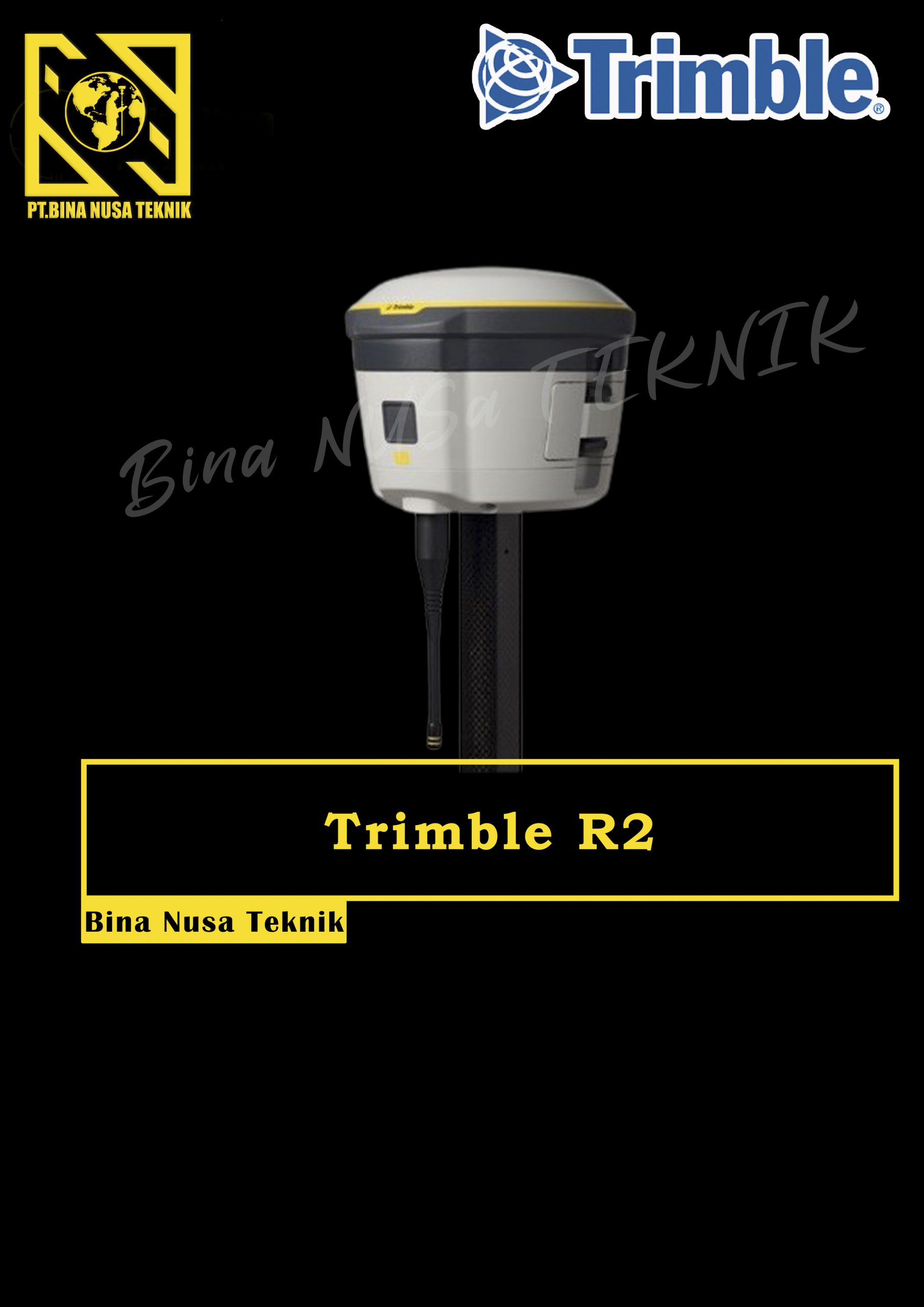
GPS GNSS TRIMBLE R2
Rp1.234.555
GPS Geodetik RTK GNSS Trimble R2
The Trimble® R2 is a compact, durable GNSS receiver that provides an easy-to-use solution for GIS and survey professionals who need to collect highly accurate data in a wide range of geospatial applications. Capable of delivering between submeter and centimeter positioning accuracy in real-time to any mobile device via a wireless Bluetooth® connection, the R2 receiver gives you total flexibility to choose a solution based on the accuracy and GNSS performance level that suits your application, letting you work the way you want.
- Professional solution for GIS & survey applications ranging from submeter to centimeter accuracies
- Easily collect data by pairing with devices such as smartphones, tablets or Trimble handhelds
- Fast to setup, easy-to-use, keeping you productive and focused on your work
- Supports multiple satellite constellations and correction sources for accurate data at any location
- Compact, cable-free design with integrated antenna
High accuracy for survey & GIS applications
- Capable of delivering submeter to centimeter level positioning accuracy in real-time to suit any field data collection application.
- Achieve higher accuracy in real-time using correction sources from SBAS and VRS networks to Trimble RTX™ correction services*, delivered by either satellite or Internet, or via traditional RTK methods.
- Supports multiple satellite constellations and augmentation systems to provide maximum accuracy and positioning performance.
* Trimble RTX™ available through Trimble applications
Flexible solution
- Able to be paired with any mobile device on a variety of operating systems and platforms, from a Trimble handheld or controller to a modern smartphone or tablet.
- You can select the accuracy and GNSS performance level appropriate for your application.
- Capable of being operated either mounted on a pole, on a backpack or on a vehicle.
- Integrates with Trimble software such as Trimble Access™, Trimble TerraFlex™ and Trimble Business Center to enable data to be easily collected, communicated and processed, providing you with high-quality deliverables for your organization.
Simple, rugged system
- One-button start up and compact, streamlined design enables a quick setup.
- Built to withstand tough conditions meeting military specifications MIL-810G for ruggedness and an IP65 rating.
Description
Gratis Pelatihan Untuk Pembelian alat Diatas
GRATIS ONGKIR UNTUK WILAYAH BANDUNG
MOST SEARCH :
Jasa Survey Topografi, Jasa Survey Hidrografi, Jasa Survey potogrametri, Pelatihan Survey pemetaan, pelatihan survey topografi, Jasa pengukuran lidar, jasa pengukuran bathymetri, pengukuran jembatan dan jalan, jasa survey laser scanning, pemetaan luas bidang tanah, kubikasi cut and fill, pembuatan saluran irigasi, Batimetri laut, Batimetri sungai, Batimetri muara dan danau, Jasa pengukuran UAV, jasa pengukuran Drone, Pelatihan total station, pelatihan theodolite , pelatihan GPS RTK, Jasa pengukuran GPS RTK, jasa Pengkuran bidang tanah, Pemetaan Jalur pipa, Batimetri pelabuhan
Only logged in customers who have purchased this product may leave a review.


demila aktiviano –
gps trimble r2 kualitas dan harga mantap