Home » Shop » GPS GNSS CHCNAV I50
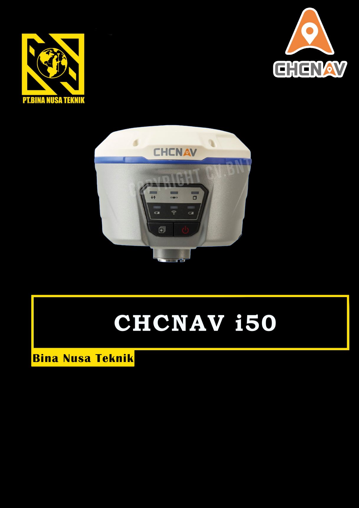
GPS GNSS CHCNAV I50
Rp123
GPS Geodetik RTK GNSS CHCNAV I50
Description:
The CHCNAV i50 GNSS receiver brings speed and accuracy in one easy-to-use GNSS solution to complete your surveying and construction projects efficiently.
Combined with CHCNAV LandStar 7 field software and HCE320 Android controller, the i50 is the perfect surveying solution for topographic and construction positioning tasks.
Key Features
● 634 Channels Full GNSS
● Extended Connectivity
● Flexible Work Modes
● Rugged and Compact
● Extra Power
Specifications:
1. Power
Operating power: min. (V) 7.4
Operating power: max. (V) 36
Typical consumption (W) 4.2
Internal power supply 7.4
External power 9 – 36
Operating time with internal power supply (hr) 12
Certifications CE
2. Environment
Operating temperature: min. (°C)-40
Operating temperature: max. (°C) 65
Humidity resistance 95%
Water sand and dust proof IP67
Shock and vibration proof 2-meter pole drop
3. Performance
No. channels 432
Tracked satellite signals GPS, GLONASS, Galileo, BeiDou, SBAS, QZSS
SBAS differential signals L1
Type of measurements RTK, PPK, Static
Reacqisition time (s) <1s
RTK Network Compatibility >99.9%
4. Horizontal Uncertainty
code: DGNSS/RTC (constant part) (m) 1.5
code: DGNSS/RTC (variable part) (ppm) 3.0
phase: RTK kinematic (constant part) (m)0.017
phase: RTK kinematic (variable part) (ppm) 1
phase: static post processing (constant part) (m)0.006
phase: static post processing (variable part) (ppm) 0.5
Gratis Pelatihan Untuk Pembelian alat Diatas
Untuk Negosiasi Harga GPS GEODETIK bisa langsung WA/Call
Description
Gratis Pelatihan Untuk Pembelian alat Diatas
GRATIS ONGKIR UNTUK WILAYAH BANDUNG
MOST SEARCH :
Jasa Survey Topografi, Jasa Survey Hidrografi, Jasa Survey potogrametri, Pelatihan Survey pemetaan, pelatihan survey topografi, Jasa pengukuran lidar, jasa pengukuran bathymetri, pengukuran jembatan dan jalan, jasa survey laser scanning, pemetaan luas bidang tanah, kubikasi cut and fill, pembuatan saluran irigasi, Batimetri laut, Batimetri sungai, Batimetri muara dan danau, Jasa pengukuran UAV, jasa pengukuran Drone, Pelatihan total station, pelatihan theodolite , pelatihan GPS RTK, Jasa pengukuran GPS RTK, jasa Pengkuran bidang tanah, Pemetaan Jalur pipa, Batimetri pelabuhan


Reviews
There are no reviews yet.