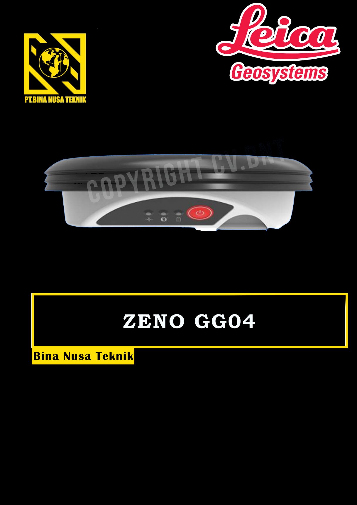
GPS GNSS LEICA ZENO GG04
Rp123.455
GPS Geodetik RTK GNSS Lieca Zeno GG04
Collecting high-accuracy geospatial data on your smartphone or tablet has never been easier.
Pair with all existing Leica Zeno handhelds and a wide range of Android, Apple or Windows® smart devices, to bring cutting-edge GNSS technology and industry-leading 555 channel tracking power to your hands.
The rugged, flexible and easy-to-use smart antenna utilises RTK technology and can now apply Precise Point Positioning (PPP). This makes high-accuracy data collection possible in real-time even in the most demanding of locations without the need for a mobile data connection.
With its compact, lightweight design and IP68 durability, you can work longer in all conditions – the world of high accuracy mapping comes to life at your fingertips.
Smart device independence
- Use your existing smartphone or tablet
- Available for Android, Apple and Windows®
- Bluetooth® connection ensures cable free operation
Enhanced tracking performance
- 555 channels support an increased number of satellites
- State-of-the-art GNSS technology
- Ready for future GNSS developments
Precise point positioning (PPP)
- Achieve high accuracy data collection without a mobile data connection
- Available anywhere in the world, anytime
- Removes reliance on post processing
Extensive software support
- Use with your favourite data collection apps and software
- No development efforts required
- Provides NMEA messages output on different Bluetooth® ports to allow reviewing and storing of GNSS metadata information
Built to last
- IP68 protection ensures water and dustproofing
- Continuous performance in all environments
- All day battery life


Reviews
There are no reviews yet.