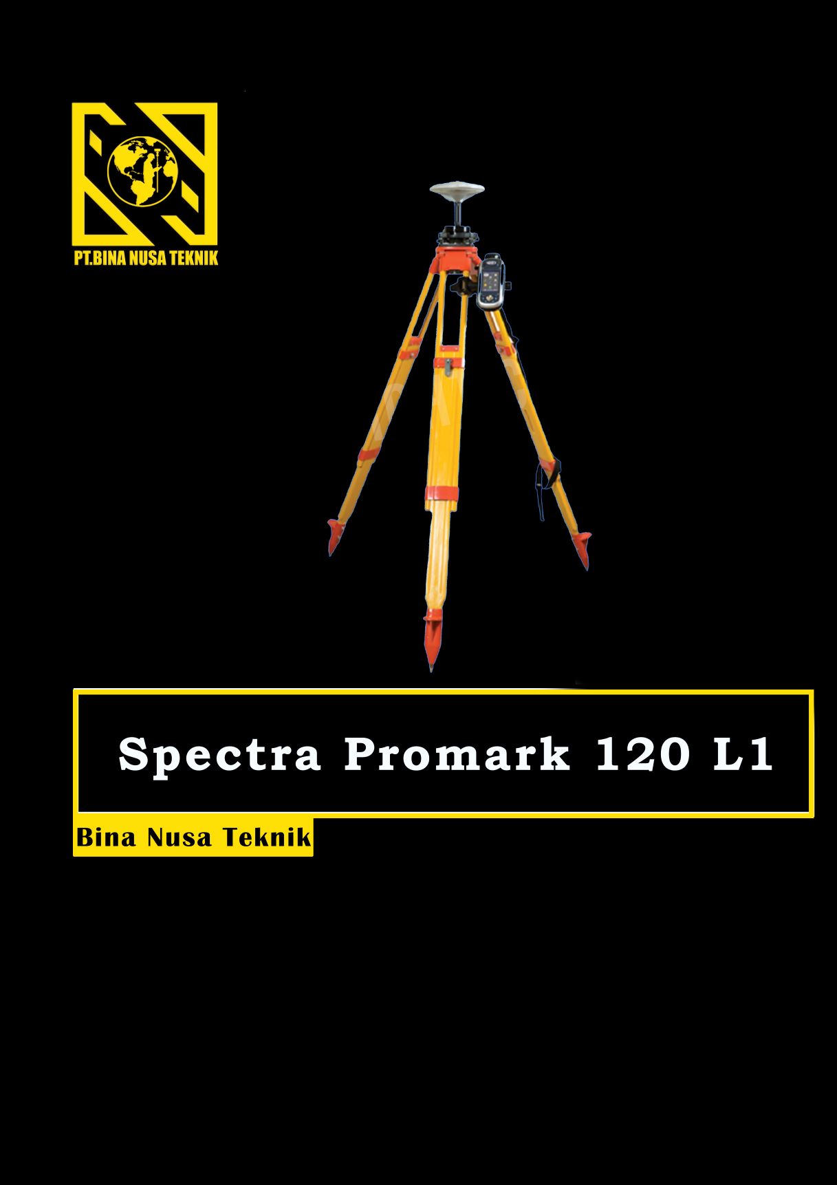
GPS Geodetik RTK GNSS Spectra 120 L1
Spesifikasi Dan Fitur Gps Geodetik Spectra Precision ProMark 120 L1 Gps Static
ProMark 120 L1 GPS (Harga untuk barang NON GLONASS)
The Spectra Precision ProMark 120 GNSS system is the most versatile post-processing solution, designed for easy and efficient land survey applications. Thanks to the embedded Ashtech Z-Blade technology as well as GPS and GLONASS signals tracking, ProMark 120 provides high-precision measurements even in very demanding or obstructed environments.
GNSS Characteristics
45 parallel all-in-view channels
– GPS L1 C/A, L1 P-code, full
wavelength carrier
– GLONASS L1 C/A, full wavelength carrier
– SBAS: WAAS/EGNOS/MSAS/GAGAN
Fully independent code and phase
measurements
Advanced multipath mitigation
Ashtech Z-Blade technology for optimal
performance
Up to 20 Hz real-time GPS, GLONASS, SBAS
raw data (code and carrier) and position output
Supported data formats: ATOM (Ashtech
Optimized Messaging), RTCM-2.3, RTCM-3.1,
CMR, CMR+, DBEN, LRK
NMEA 0183 messages output
RTK Network: VRS, FKP, MAC
Accuracy Specifications (HRMS) 1 2 3
Static, Fast Static post-processing
Horizontal: 5 mm + 0.5 ppm
Vertical: 10 mm + 0.5 ppm
Kinematic post-processing
Horizontal: 10 mm + 1 ppm
Vertical: 20 mm + 1 ppm
Real-Time Kinematic (RTK)
Horizontal: 10 mm + 1 ppm
Vertical: 20 mm + 1 ppm
DGPS < 30 cm + 1 ppm typical
SBAS < 50 cm
GPS GEODETIK Promark 120 L1 (NON GLONASS)
consisting of:
ProMark 120 Receiver
Battery Pack, Li-Ion, 3.7V-6.6Ah (1)
Including RTK, NTRIP & Direct IP and GLONASS Options
Docking Station w/USB & AC/DC Power Cables
ASH-660 L1 GPS/GLONASS Antenna & Cable
Vertical Antenna Extension
HI Measurement Tape
Bracket for Pole Mount
Field System Bag
ProMark Field Software


Reviews
There are no reviews yet.